We usually start walking along the southwest side of Arunachala where we live. Looking at the mountain, we thought that a shortcut across a low pass might be possible. We first walked to the area, and found part of a path up the pass. We forced our way up to the top that day, but did so by pushing our way through brush and bushes, many of which were various thorn bushes. Recently we had some garden pruning shears sent to us from the USA, and so we spent a few days trying to make this path more walkable.
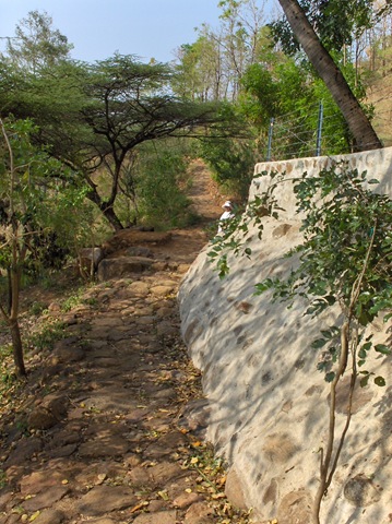
After the work was done, we can now walk more easily to the top of the pass and on to the other side of the Hill. Much of the ‘path’ up a is a dry creek bed, so water cascades down the path when it rains. For anyone might be interested in trying our path, here is a warning: Parts of it could be difficult if your legs, knees and ankles are not in good condition.
Orientation to the path
Here is an Arunachala map where I have shown in red some of what we see.
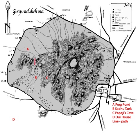
Sri Ramanasramam is at the bottom of the map, the south side of Arunachala. The Inner Path is not shown on this map, just the Outer Path. Marked in red letters are the approximate locations of our house, Papaji’s Cave, and a couple of water tanks we regularly see. The approximate route of the path over the mountain is indicated by the vertical red line above letter B.
The main part of Arunachala is to the right of our path. The section of the mountain to the left of the red line is known as Parvati. Between Arunachala and Parvati, there is a small hill that joins them. You can see this from our roof, below. Our path is on the right side of the hill, the lowest of the two passes.
Early morning start
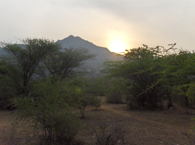
This is May, the hottest month of the year. We start early. This day it about 6:30 and the sun is rising over Arunachala.
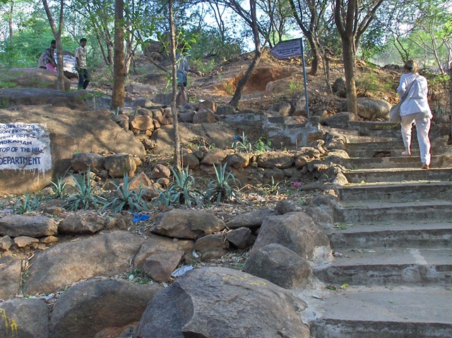
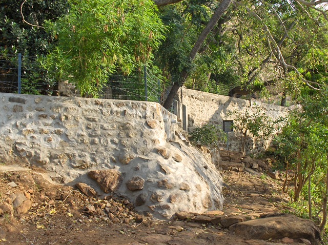
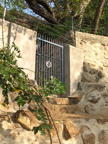
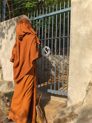
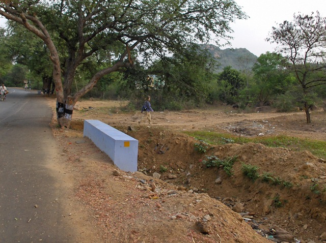
Turn off Pradakshina Road to the path that leads to Reforestation Station
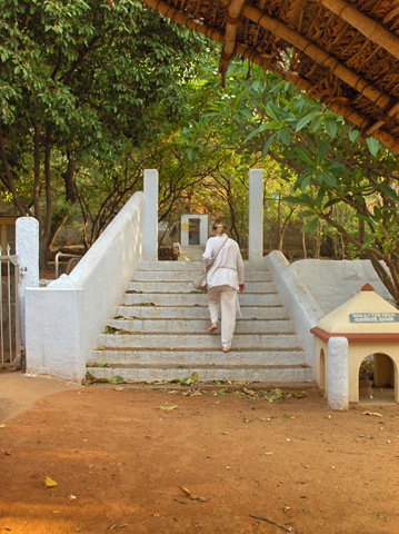
We walk across Bangalore Road to the Pradakshina Road. We turn off the Pradakshina Road toward the Inner Path across from a small temple where they sell wish bags that can be hung on the temple wishing tree. They want Rs 20 from Westerners.
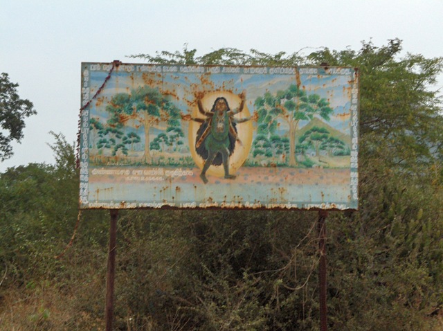
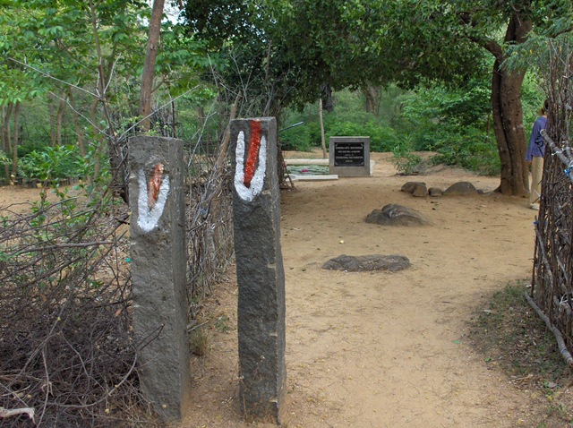
The sign shown below is one other landmark for this path.
Up the path towards the mountain
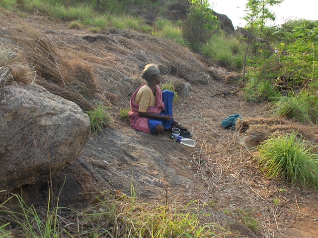
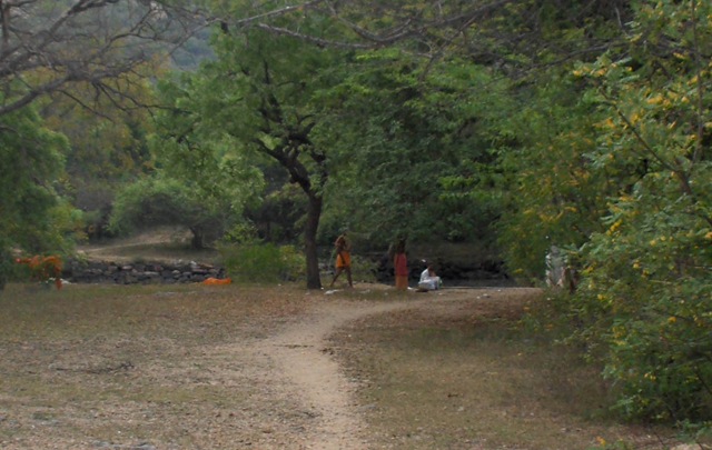
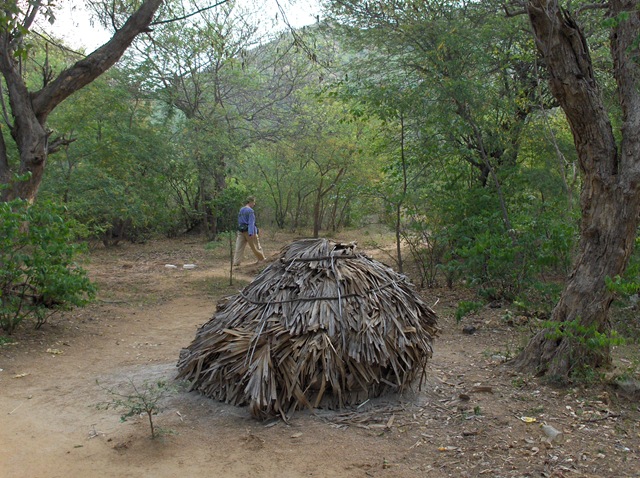
Past the Sadhu Tank
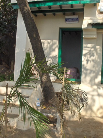
Sadhus sleep at this tank, and in the early morning they wash themselves and their clothes. Often you will see a saffron dhoti stretched out, drying in the sun.
 g
g
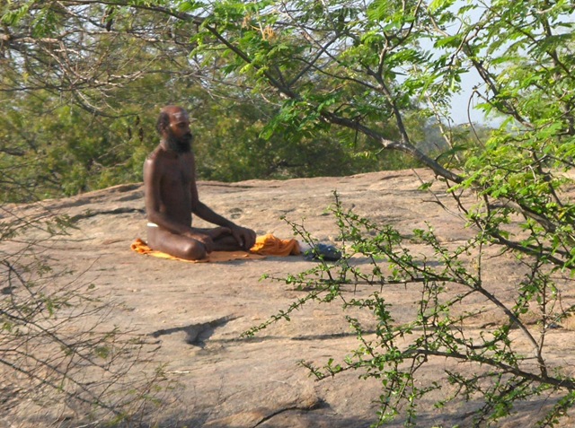
There are other places near here where you can see the sadhus meditating in the morning.
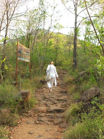
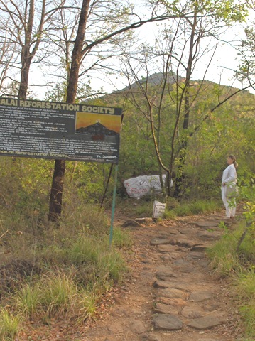
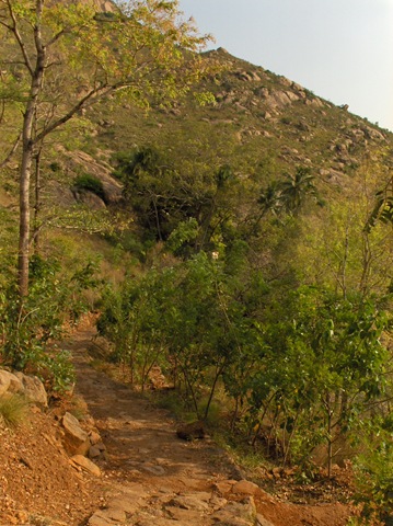
To the Reforestation Station
Turn right and walk towards the mountain
Take the left branch of the path
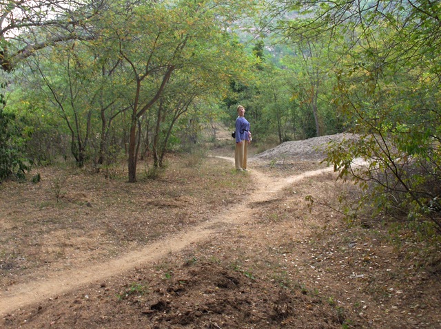
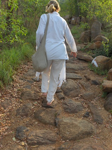
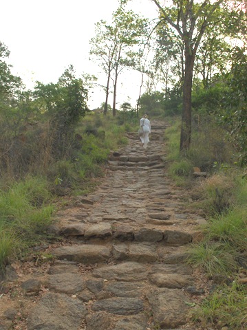
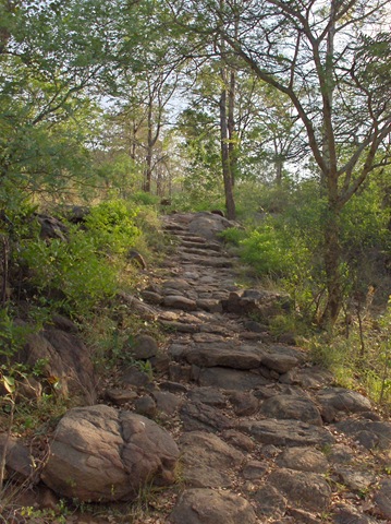
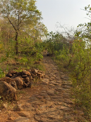
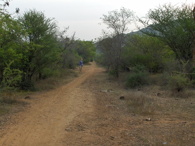
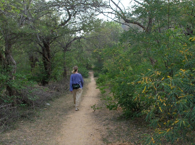
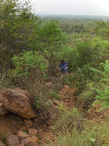
During part of this section, it is not always clear where the path is. Just keep going uphill, generally following the creek bed. For the most part, the path goes to the right of the creek, then up the creek bed where it gets steeper.
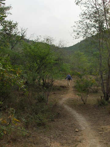
The path goes up the creek bed

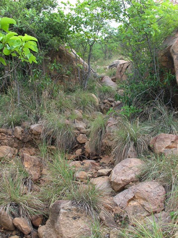
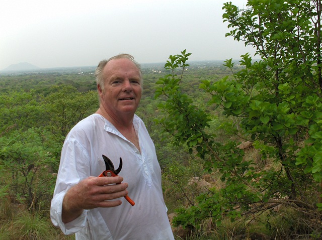
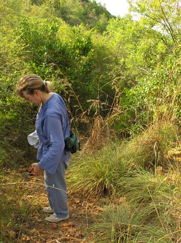
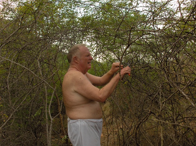
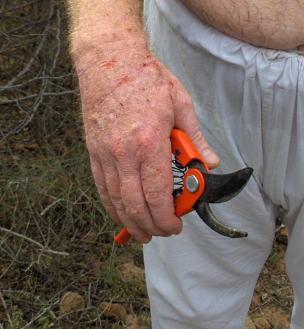
Much cutting to prune back many thorn bushes
Carol and Richard get much work, clearing back brush, and especially thorns. Many different kind of thorn bushes, some quite nasty. It is also getting hotter. If your look closely you will see that my shirt is soaking wet by now.
Richard cutting a path through thorn bushes
There are many bloody spots from the thorns. They fight back.
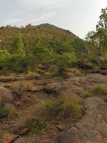
At the top of the pass
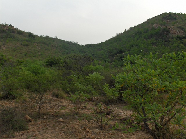
While at the level of the pass, one cannot really get much of a view.
Below we are looking at the side of Arunachala.
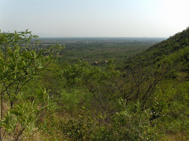
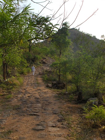
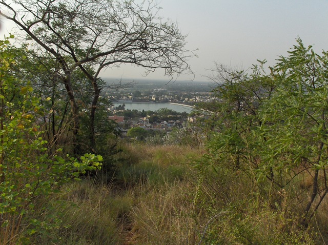
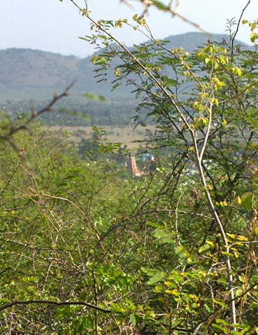
Adi Anamalai seen from top of the pass
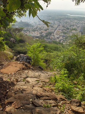
This photo shows the view of Adi Anamalai through the brush that surrounds the path leading down the other side of the hill. This path is much better than the one we came up. If you take it and bear left, it will take you to the ‘Frog Pond.’ I am not sure where you will go if you bear right. We will find this out another day.
The View from the Ridgeline
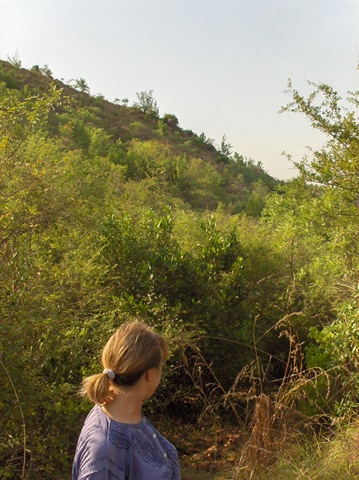
We found another path going towards Parvati that took us higher where we could see in all directions. This was up the ridgeline.
Climbing up to the ridgeline towards Parvati, one can get a wondrous panoramic view of both sides of Arunachala.
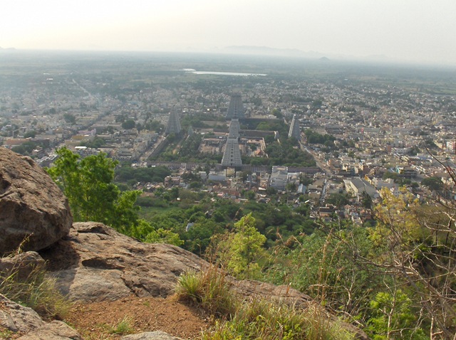
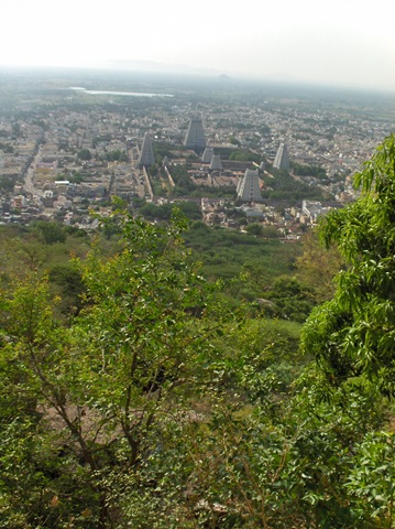
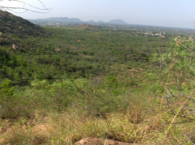
Looking back towards Tiruvannamalai
Looking to the Inner Path, as it progresses past ‘The Elephant’
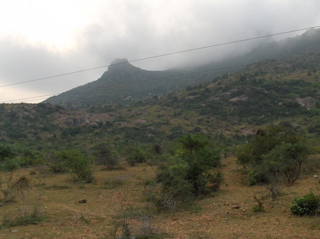
The locals call a structure on Arunachala that is east of Adi Anamalai ‘The Elephant.’ The is a main structure on this side of the hill, and it does look like the head and trunk of an elephant.
Below is the best picture I have so far of the Elephant. Here you can just make out the structure to the left that is the end of the trunk of The Elephant. the rest of the head is obscured by clouds.
Soon I want to explore around the big rocks that are at the bottom of this hill, pushing through the trees in this photo.